Happy Friday guys!
I’m sure you all are looking forward to the weekend! And speaking of days off, whenever I have a long weekend, I like to do spend part of it doing something fun and new. For 4th of July weekend, this was no exception.

My festive pancakes over the holiday weekend
We had a party at our friends’ on the agenda, which I made my very first red, white & blue cake {angel food cake with cream cheese frosting & a fruit flag} + caprese pasta salad for. We also had some house stuff to do (homeowners, do you also feel like the work is never-ending?!), but that was pretty much it… so, we had some time to go on adventure!

I decided that a new area hiking spot was to be explored, and the weather was perfect for doing so. A lot of hiking trails in San Diego County are inland, and inland areas can get HOT in the summer, but last weekend, temperatures in the 80s meant decent summertime hiking. After doing some research – when I realized that I’ve done the vast majority of hikes within a 2-hour radius! – I found one called Cuyamaca Peak.
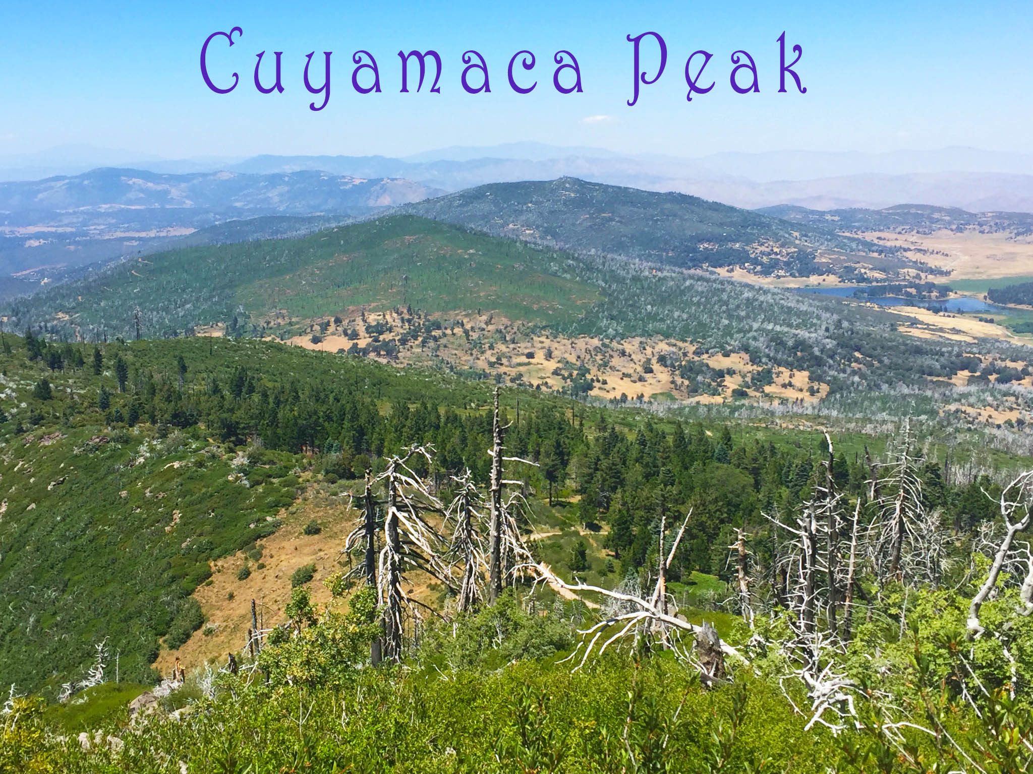
What intrigued me about this hike is that it’s the 2nd highest point in San Diego County. The summit sits at 6,512′ and the hike comes in at a little under 6 miles with a 1,700’+ elevation gain. The trail is located in Cuyamaca Rancho State Park – which I didn’t realize that we’d been to until after doing the hike, coming home and checking my blog post about our camping trip there years ago because I thought the park sounded familiar (Got to love that, right fellow bloggers?).
From what I’ve read, dogs are allowed on this trail (and I believe it’s the only trail in the park that allows pups), but we decided to leave Harley home. Between the decently long drive and the summertime weather, we figured it’d be easier to leave her napping cozy in her bed under a ceiling fan.
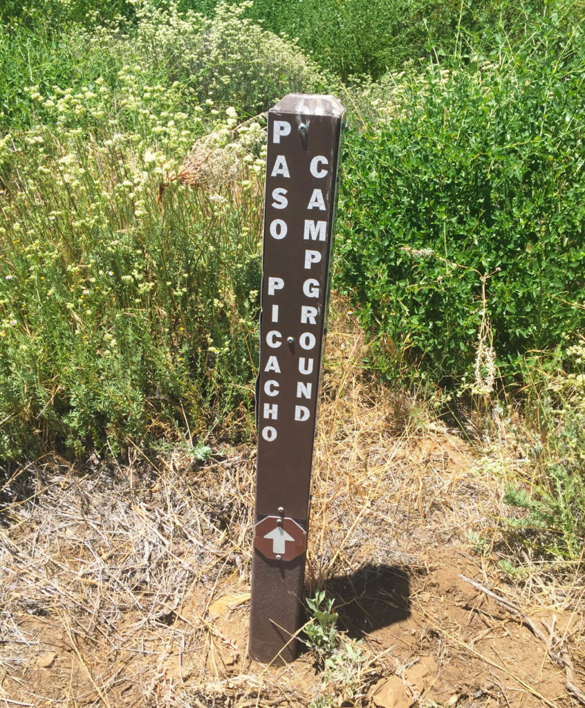
To get to the trail, we parked in the Paso Pichacho campground area, and walked through the campsites to get to the trailhead in the back.
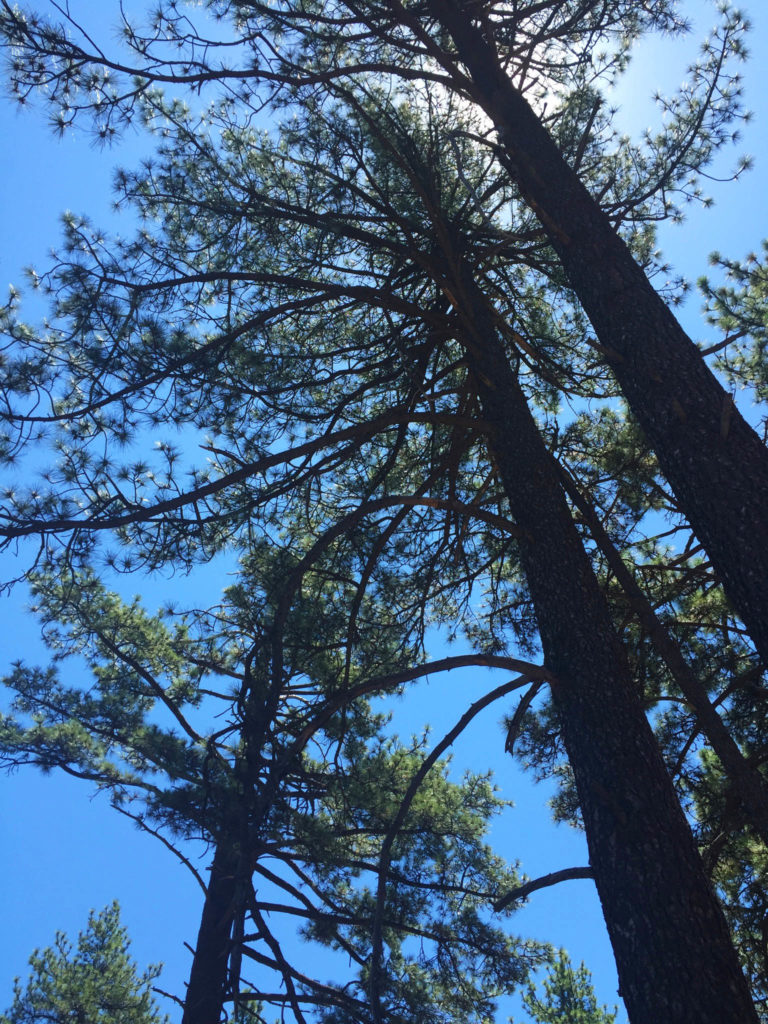
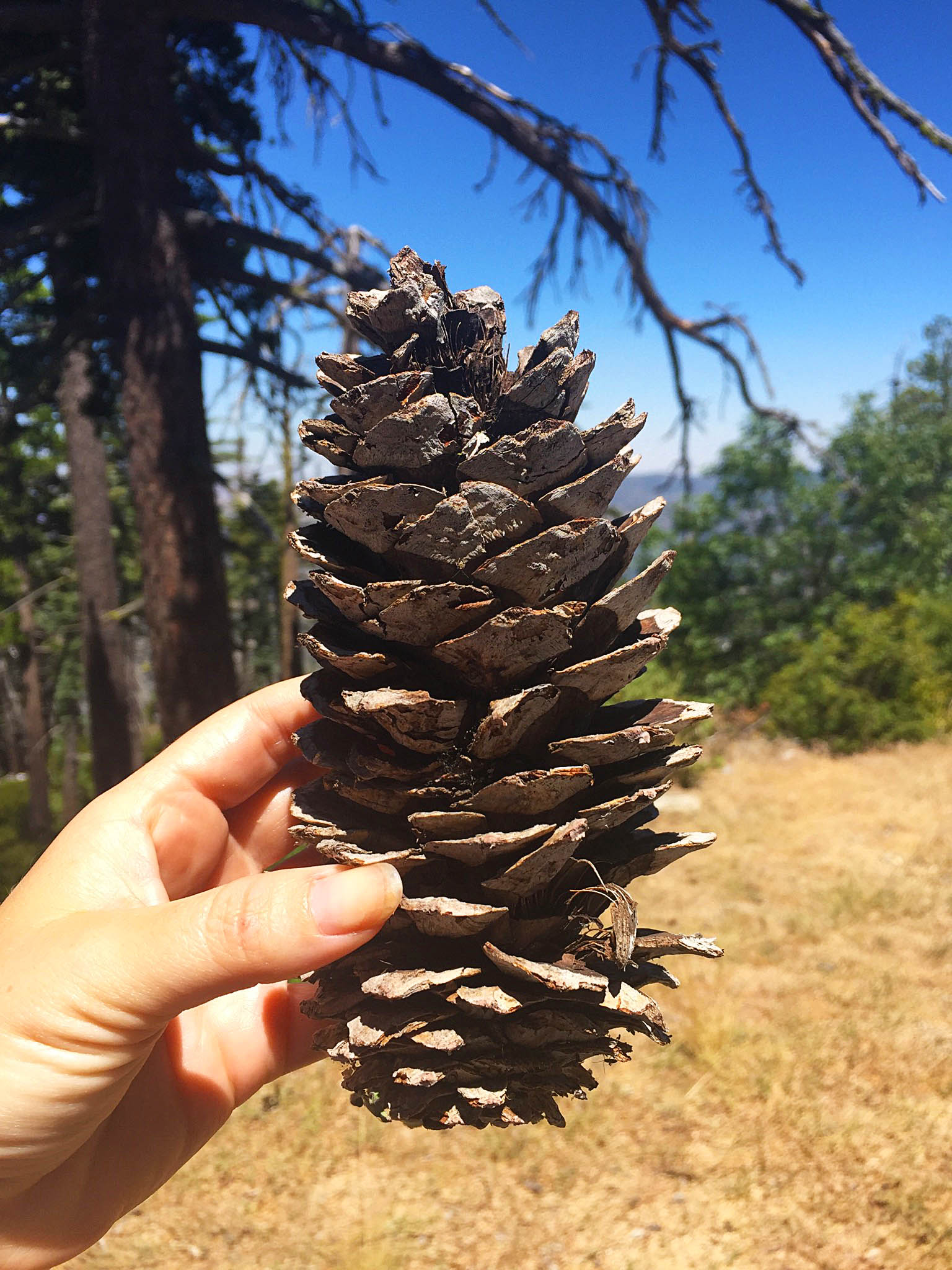
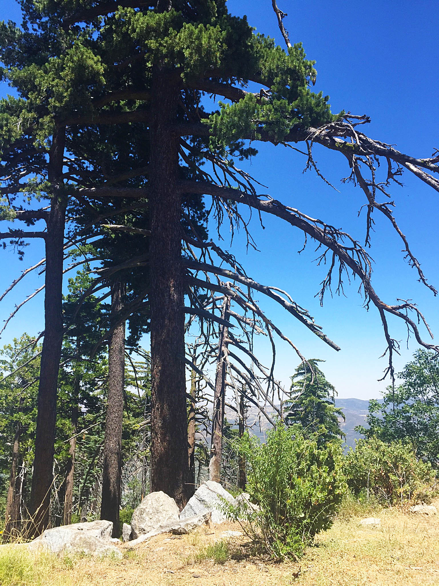
Another thing that seemed interesting about this trail is that it’s home to sugar pine trees – something you don’t see too often in Southern Cali. I was also curious about the destruction that could still be seen from the massive fire that I had heard about, which in 2003, incinerated the areas and its beautiful forests.
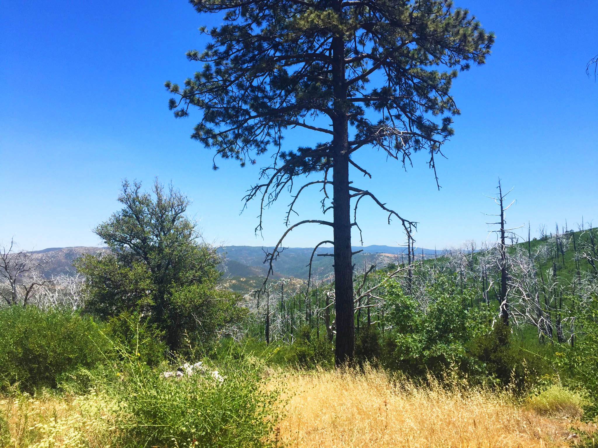
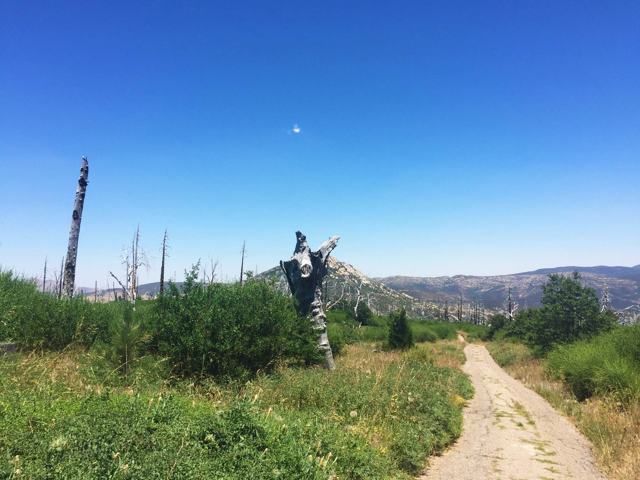
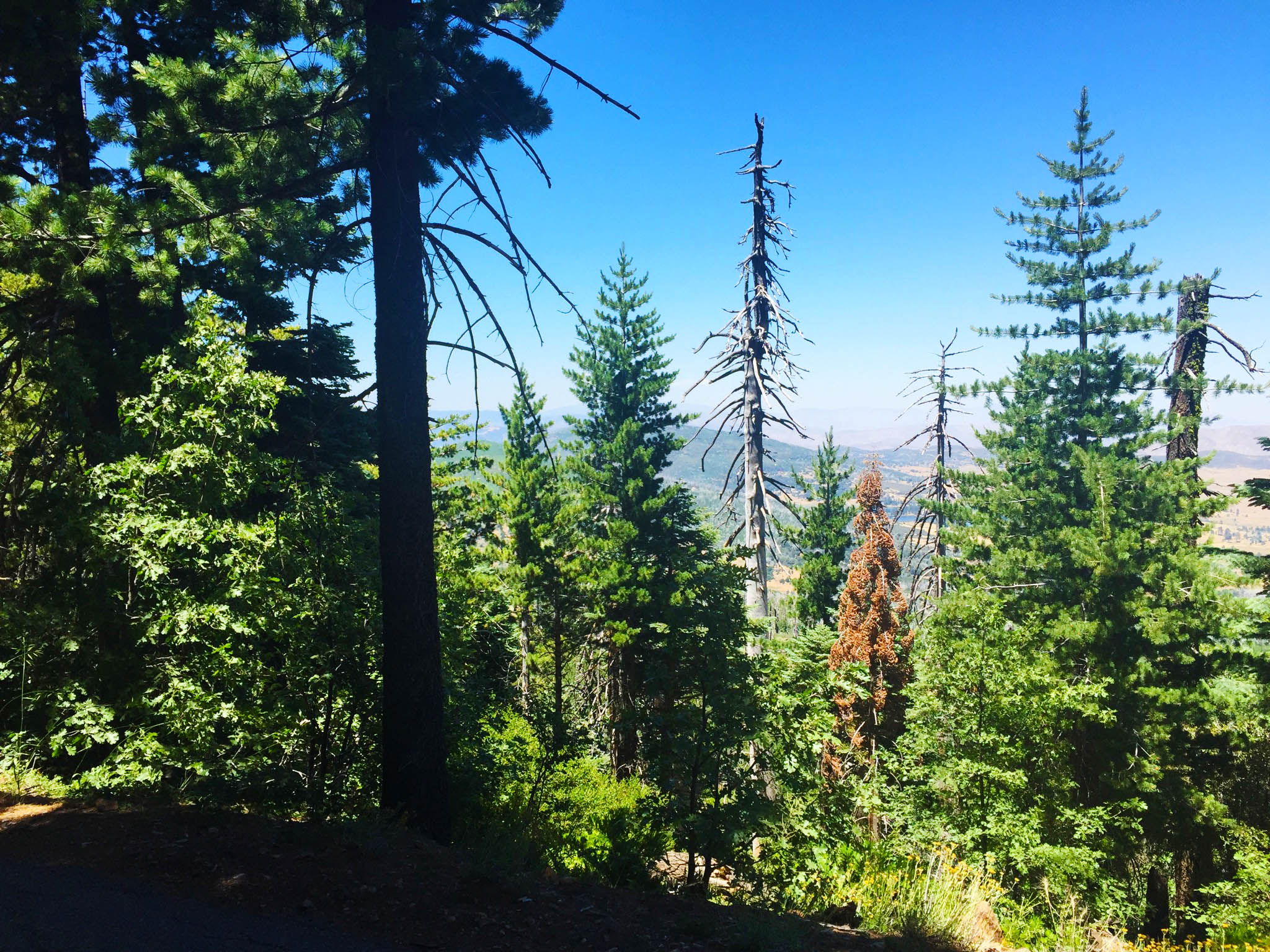
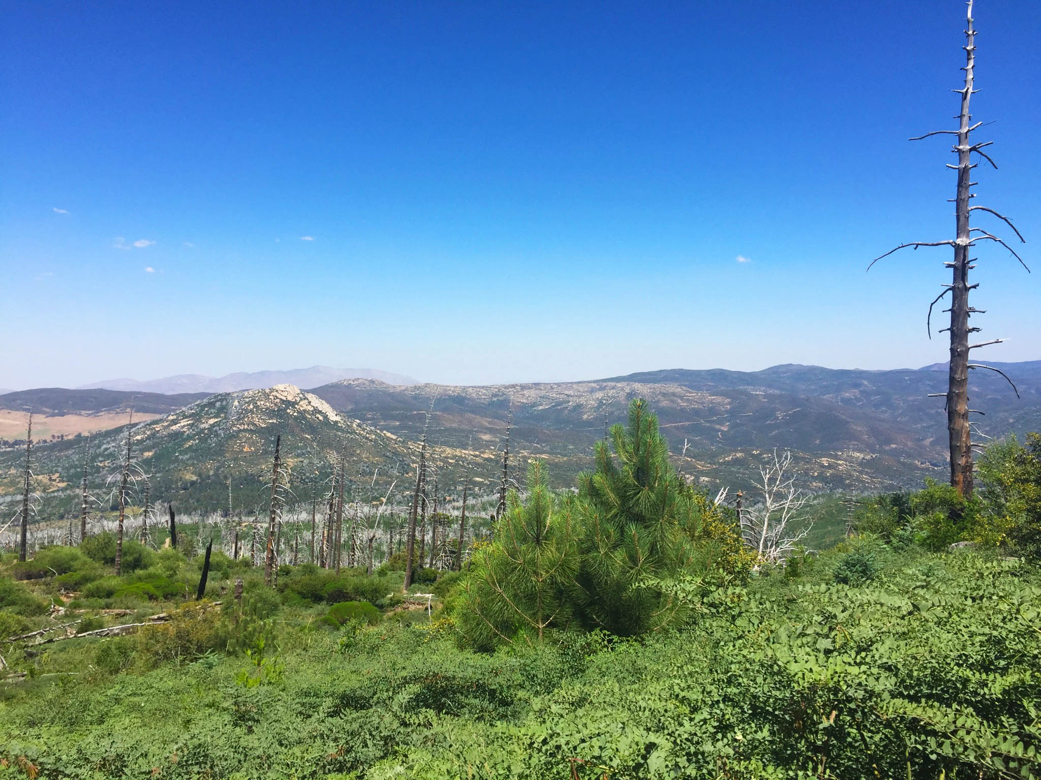
Right away, you can tell that there was an enormous fire in the park. While lots of beautiful green can still be seen on the trail, much of the area is a reminder of that fire 13 years ago that swept through 240,000+ acres. Trees caught in the fire still stand high – but leaf-less, blackened and burnt.
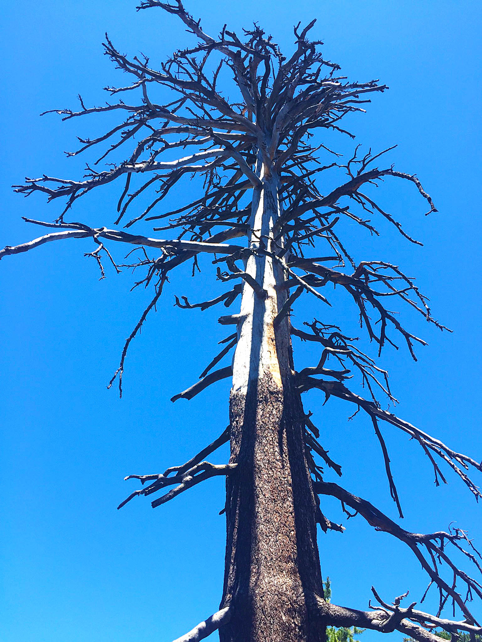
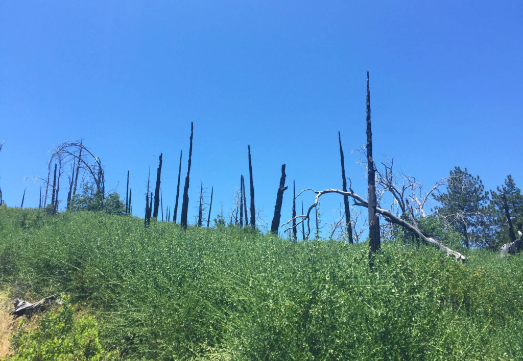
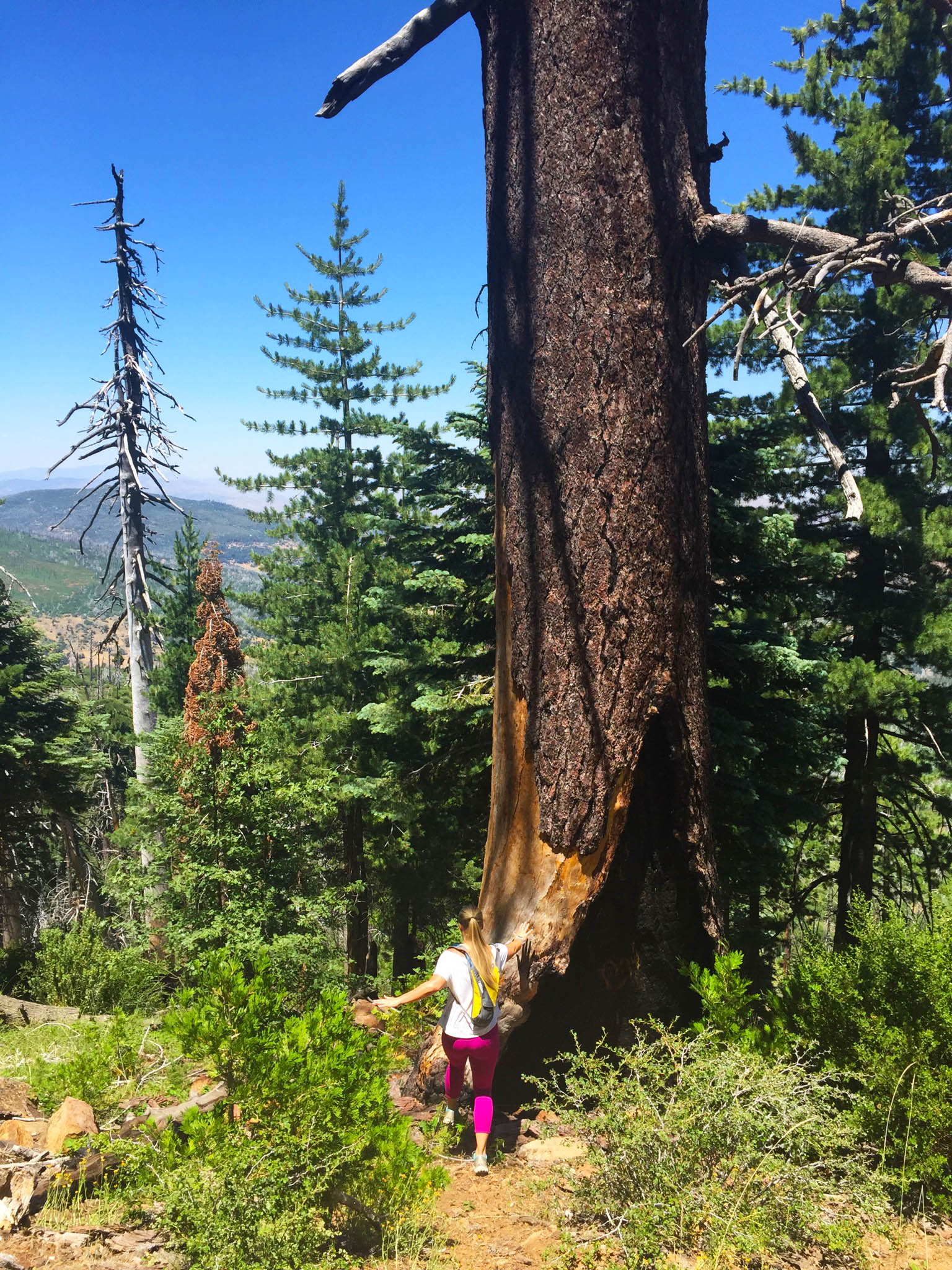
As we hiked, the extensive fire damage was an interesting contrast to the new greenery that I was reveling in, and I was imagining how vibrant and beautiful the forest was before the fire. Higher up on the trail there were some gorgeous huge trees that reminded me of Muir Woods and my time living in the Bay Area.
One thing I wasn’t crazy about on the Cuyamaca Peak trail is that the entire thing is paved. A paved trail feels a lot less nature-like (obviously), and I actually had sore shins that next day since I’m used to hiking on softer ground.
The plus side of this is that the trail was pretty straight-forward to follow. There were a few turn-off options, but the entire time, we just stayed straight on the trail up to the peak. We didn’t get lost for a change! 🙂
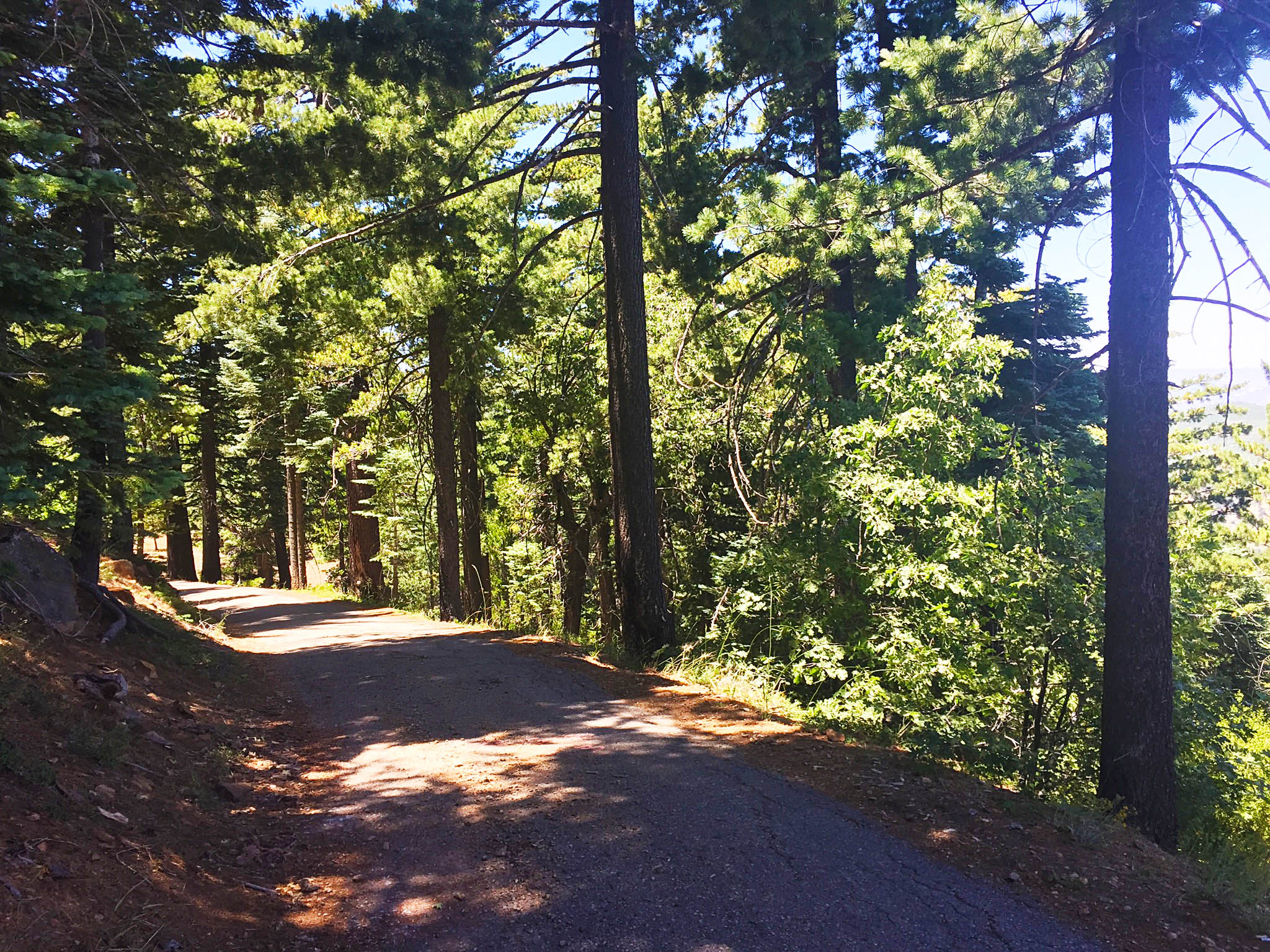
The trail was a steady ascend upwards. It was never too steep, but my heart rate was pumping the whole time. We only saw a few people the whole hike, and sometimes it felt like we had the park all to ourselves. I love empty hiking trails!
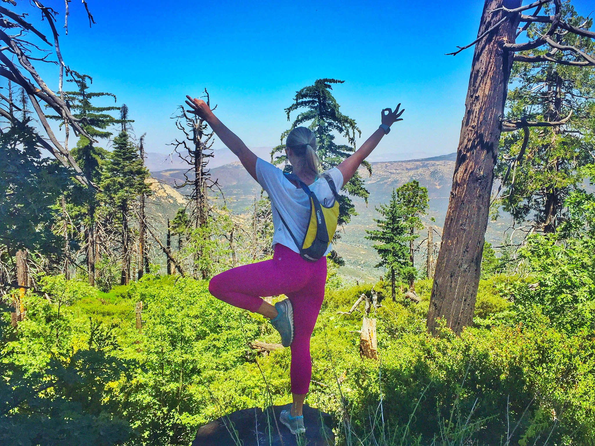
Tree pose on a tree stump
We reached the summit in about 90 minutes.
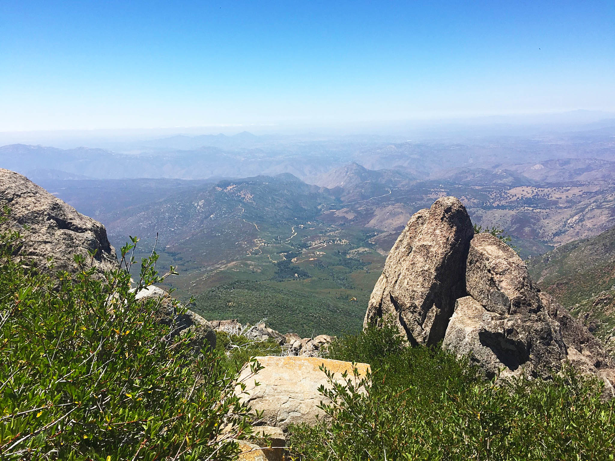
While the fire damage was sad to see, Cuyamaca Peak definitely offers pretty views of San Diego County from start to finish!
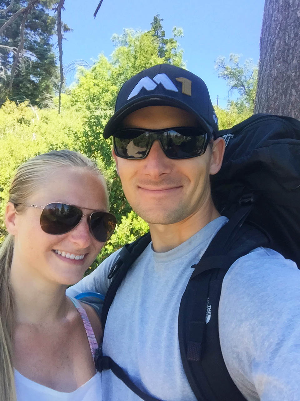
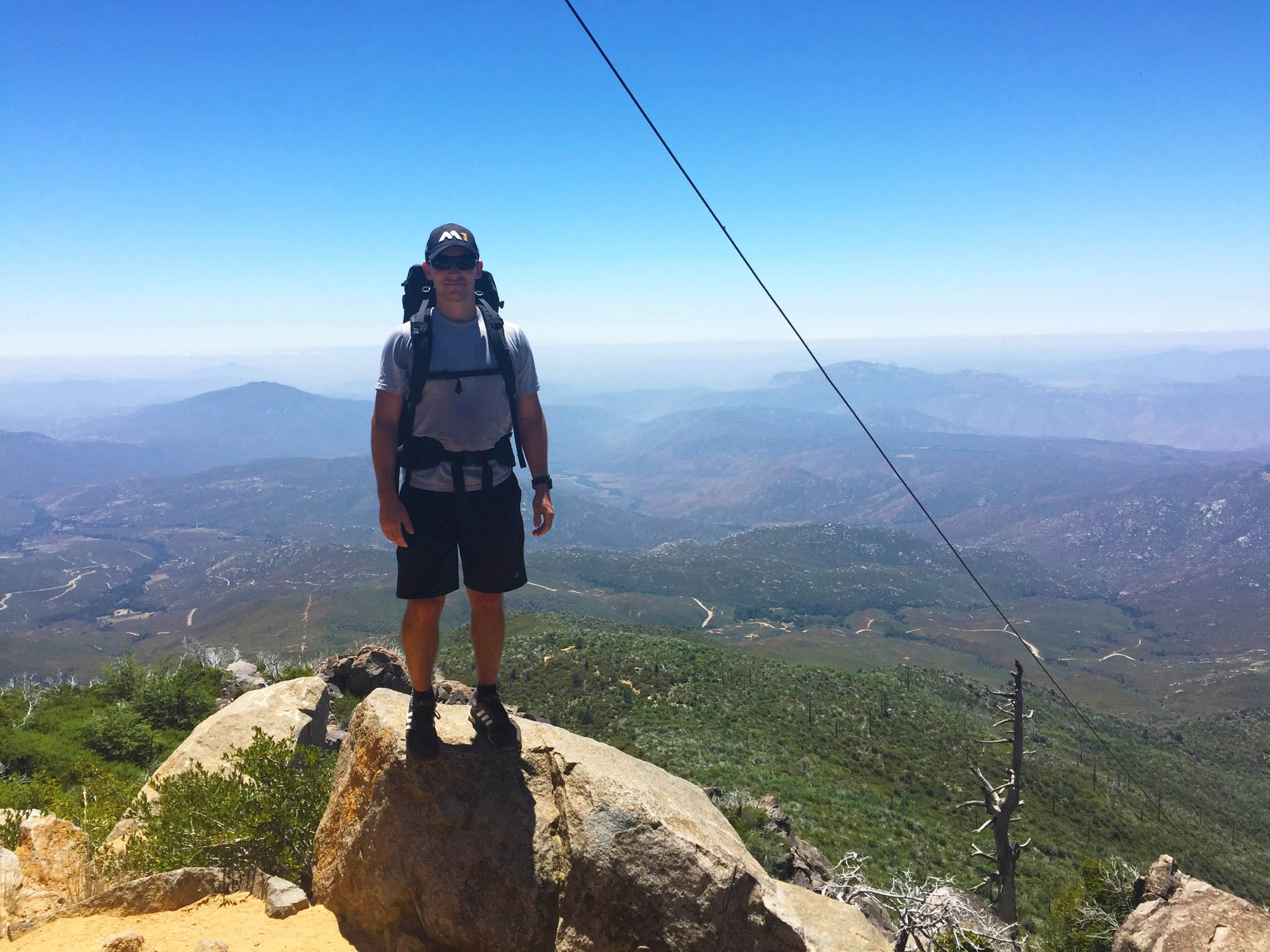
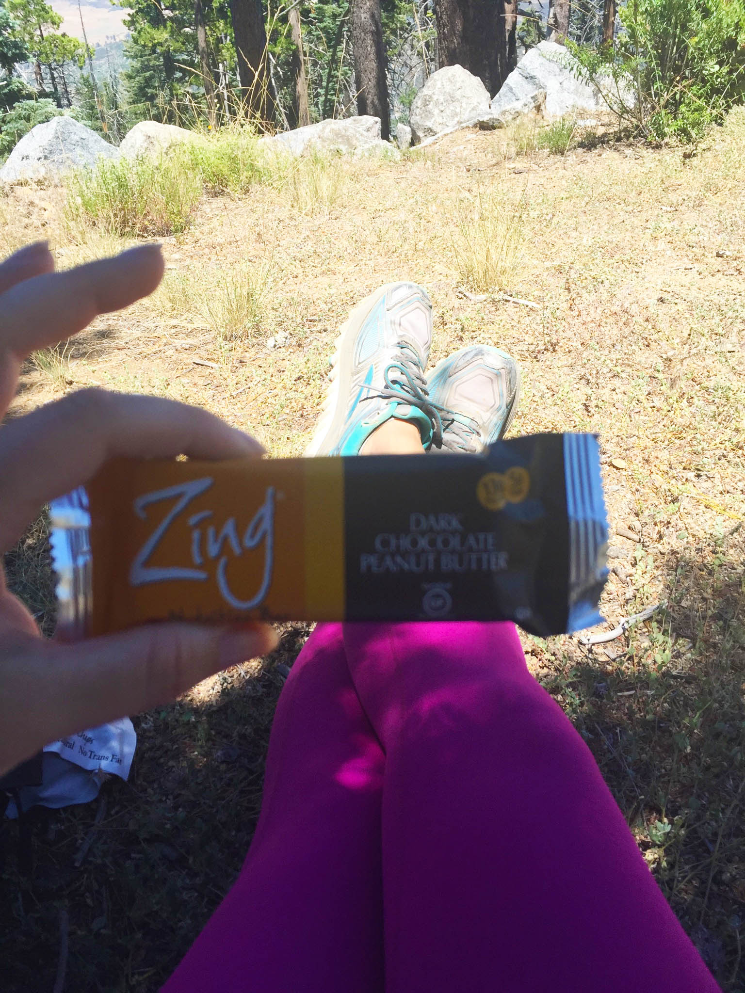
We settled in the shade under a tree to eat some snacks and hydrate for a few minutes…
…and take some silly selfies, naturally.
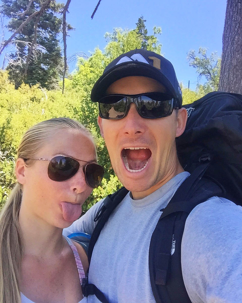
Fun tidbit: This 4th of July was our engageversary (just making up words here!) & marked 7 years since the hubby proposed to me.
We made our way down the trail a lot quicker than it took us to hike up it, and in its entirety the hike took us 2 1/2 hours.
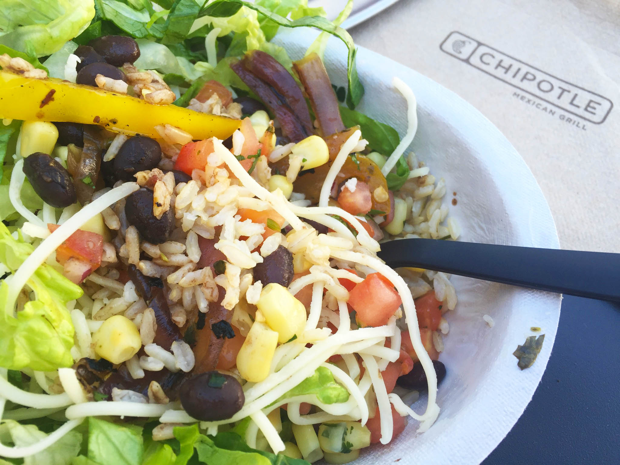
Cuyamaca Peak is a solid 75 minutes from my house in North County, so between the driving and hiking, we were hungry for an early dinner on the way back. We stopped at Chipotle and I inhaled a veggie burrito bowl. Mmm! It was the perfect refuel.
Afterwards, I clocked my heart rate watch off to see my calorie burn. 1,100+ calories – not too shabby right!
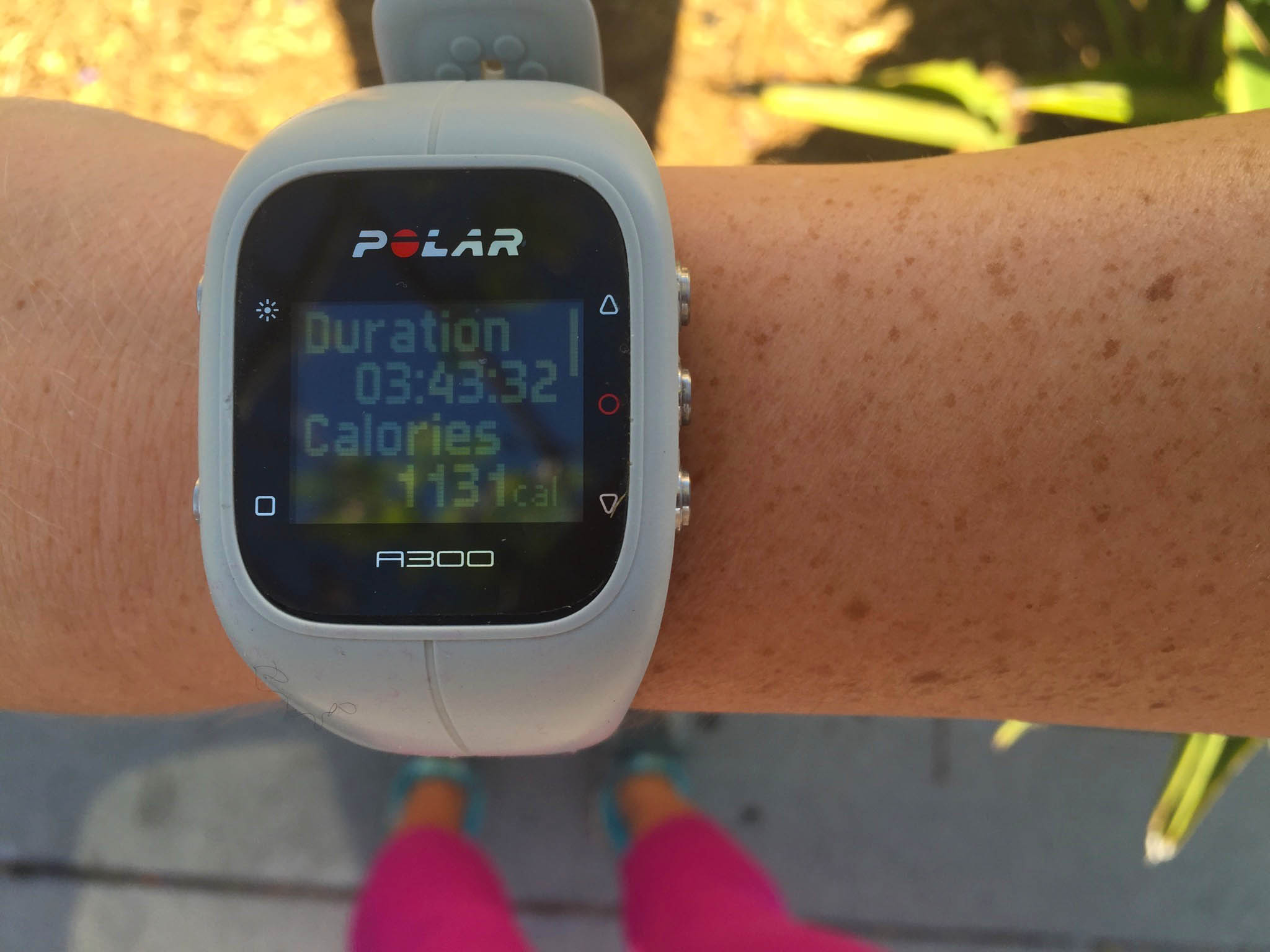
The last hour was just me sitting in the car and eating. I like to keep the watch on for a bit after a workout to see my “after burn” – which typically is a couple hundred calories or more.
Cuyamaca Peak was a great workout and day hike that both my hubby and I enjoyed doing. I was happy to have a new San Diego hiking adventure under my belt over the long weekend!
Tell me… Did you do any awesome workouts over the 4th of July weekend? Favorite type of summertime workout?

Oh my gosh yes! I am always checking stuff on the blog when I can’t remember something!
What a great hike! Looks like so much fun! My favorite summertime workout is SUP!
I feel like you’re awesome at SUP! I haven’t tried doing yoga poses on a board yet.
What a beautiful place for a hike! I love how you guys go all out for 4th July and turn so many things in the the flag.
Oh yes, America is into patriotism on the 4th of July in every way possible 🙂
Nicole!! This hike is gorgeous!! You know I love seeing all your beautiful pix!! Looks like such a great adventure! And that’s so interesting that it was paved! And I hope your shins feel better asap! Also, love these festive 4th of July eats!! Happy Monday babe!
xoxo Cailee!
Thank you, Cailee! This hike was definitely a good one.
It was a perfect weekend! Love these blue skies. That looks like a fun hike… maybe I can talk Evie into it… maybe. 😉
I think she’d go for it – it isn’t too crazy! Definitely not as bad as Potato Chip Rock!!